|
|
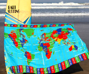
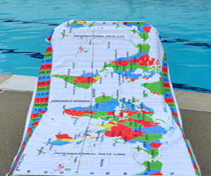
World Time Zone Map Section # 16 with current time (24 HOUR FORMAT)
Latitude range: 20°S - 57.5°S;
Longitude range: 172.5°E - 112.5°W
Change Time mode: 12 hours (AM/PM) or
24 hours.
|
|
|
Global System for Mobile communications (GSM)-
most popular standard for Mobile phones in the world.
GSM service is used in more than 210 countries and territories.
|
|
|
|
|
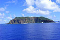
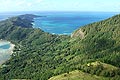
The Pitcairn Islands - volcanic islands in the southern Pacific Ocean.
The Pitcairn Islands - group is a British Overseas Territory
Pitcairn Island (capital Adamstown)- one of the remotest of the world's inhabited islands
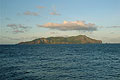
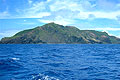
Mangareva island (Gambier Islands), French Polynesia
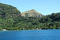
Rikitea (Rihirea) - village on Mangareva, Gambier Islands
View from Mt. Duff (441m)- highest point in the Gambiers
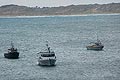
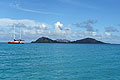
Chatham Islands, 800 kilometers east of New Zealand
|