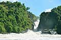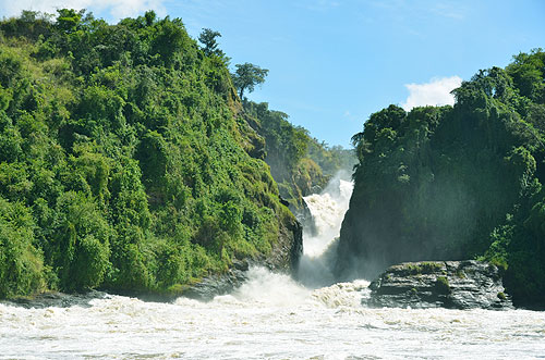
Murchison Falls (Kabarega Falls) 43 metres (141 ft),
Murchison Falls National Park, on Victoria Nile river, Uganda.
(Photo Copyright © Alexander Krivenyshev, WorldTimeZone.com)
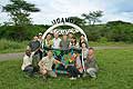
|
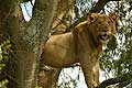
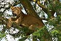
Tree-climbing lion, Ishasha, Queen Elizabeth N. P., Uganda |
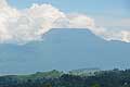
Active volcano Nyiragongo, Virunga, D. R. Congo |
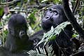
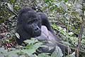
Female mountain gorilla with her baby, Bwindi National Park, Uganda |
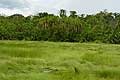
Semuliki National Park, Ituri Forest of the Congo Basin, Uganda |
|
|
|
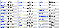
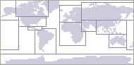
Regional Time Maps
|
|